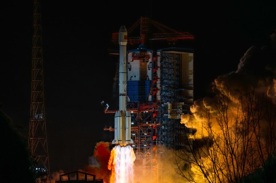
China deploys satellites for Xizang 6.8-magnitude quake rescue efforts

BEIJING -- China deployed several remote-sensing satellites to capture images of the quake-hit areas in Southwest China's Xizang autonomous region after a 6.8-magnitude earthquake struck the region's Dingri county on Tuesday morning.
Eight satellites, including the Gaofen series satellites and a land ecosystem carbon monitoring satellite, were mobilized to observe the quake-hit areas, according to the China Center for Resources Satellite Data and Application.
By Tuesday afternoon, the satellites had taken images eight times. The center said it will arrange more satellites with higher resolution to take images to provide more accurate information on the post-earthquake situation.
The Land Satellite Remote Sensing Application Center under the Ministry of Natural Resources also mobilized at least three satellites to capture images of the quake-hit areas.
A total of 126 people have been confirmed dead and 188 others injured as of 7 pm Tuesday.
- Data shows China's water governance achievements
- Notable progress in China's water management
- All-China Women's Federation sends much-needed relief supplies to Xizang
- More aftershocks expected following deadly Xizang earthquake
- HKSAR chief executive mourns victims of Xizang 6.8-magnitude quake
- Milestones in China's high-speed railway development


