Village fit for a princess
 |
|
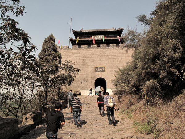
The Princess Pass is one of nine passes along the internal Great Wall.[Photo by Zhu Yinwei/China Daily] |
The internal Great Wall witnessed more wars and turmoil than it was ever designed to, while the outer Great Wall was largely unused as a defense mechanism against nomadic tribes.
The internal Great Wall was constructed to the south of the Great Wall along Taihang Mountain by the kingdoms of dynasties after the Han Dynasty (202 BC-AD 220).
The Princess Pass, the ninth pass of the internal Great Wall built in the early Tang Dynasty (AD 618-907) on the Taihang Mountain range, is now a famous tourist destination, with visitors flocking to the site for its architecture, history and picturesque landscape.
It is named after the Pingyang Princess, a daughter of the founding emperor of the Tang Dynasty, who used to guard the pass as a general.
An 8-meter-wide stone path leads to a strategically raised gated pass, located in the middle of a steep mountain slope, with a valley of the Mianhe River to its west and a barracks behind it, which evolved into a residential community of the soldiers' offspring.
The main pass gate is about 8 meters high with a wooden turret on top. Behind the turret is an ancient military headquarters which was transformed by the villagers into a temple worshiping the legendary Chinese martial arts general Guan Yu of the Three Kingdoms (AD 220-280), a stage for performances and a temple to pray for wealth.
The pass and city walls we see today were built in 1542 with stones, grey bricks and wood, all from the Taihang Mountains. Some bricks carry the makers' names and the year of their production. This was done in case poor quality led to accidents, making those responsible easy to identify.
As the shortest route connecting Northwest China and Beijing as well as the coastal ports in today's Hebei province and Tianjin municipality, the stone path and the barrack community witnessed considerable business between the mid-1500s to the mid-1940s, when the invading Japanese army broadened the narrow-gauge railway, finished in 1904, to standard width and built new roads for automobiles.
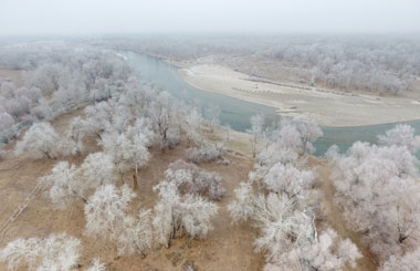
A railway bridge designed by French architects was built across the Mianhe River in the early 1900s and still functions well today. The Mianhe has been seriously polluted with wastewater from dozens of aluminite treatment plants in the upper reaches of the river.
The barracks are designed in a symmetrical format around the 5-meter-wide slate path with a gray brick one-story yard located on both sides. Unlike similar civilian houses, the barrack houses have flat roofs, which can be used as platforms for sentries and street battles.


